
The European Open Rivers Programme – a grant-giving organisation dedicated to restoring rivers.


The European Open Rivers Programme – a grant-giving organisation dedicated to restoring rivers.
12.2025 – 11.2026
The Prypiat River is one of the major rivers in Eastern Europe, flowing through Ukraine and Belarus. It is the largest right-bank tributary of the Dnipro in terms of basin area, length, and water volume. The Upper Prypiat, Stokhid, and Uzh are its right-hand tributaries, forming an extensive basin rich in meandering wetlands, lakes, and swamps that support diverse and valuable wildlife. The total area of the study river subcatchments covers over 15,000 km².
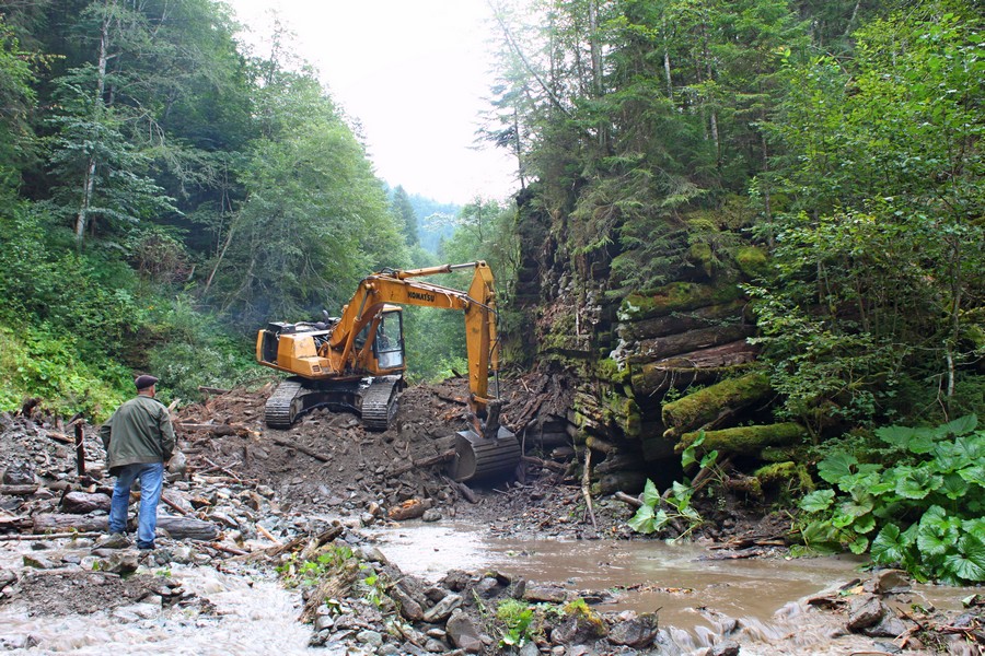
These subcatchments are vital biodiversity hotspots, with wetlands home to mammals such as the European beaver, grey wolf, Eurasian lynx, European otters, and American minks; amphibians like the smooth newt, great crested newt, European fire-bellied toad, European spadefoot toad, common toad, European green toad, European tree frog, pool frog, marsh frog, moor frog, and common frog; and reptiles including the European pond turtle. Despite the ecological significance of the Prypiat River—Europe’s largest wetland system—large parts of its basin have been heavily drained and fragmented by extensive barrier networks. Natural and artificial barriers, such as dams, small weirs, and artificial canals, are used to irrigate agricultural land. No surveys have ever been conducted to identify abandoned or non-operational dams, leaving authorities without essential data to support restoration efforts. This project offers an opportunity to map and prioritise barriers for removal in the most affected sub-catchments (Uzh, Stokhid, Upper Prypiat), restore connectivity of small rivers, and raise awareness of the benefits of barrier removal among decision-makers and the public. A significant portion of the basin lies in Ukraine, where rewilding wetlands can also bolster natural defence along the Ukraine–Belarus border. Collaboration with basin authorities and the Chornobyl Exclusion Zone provides a unique chance to develop capacity, gain experience in new environments, and lay the groundwork for long term, large-scale river restoration across the entire Prypiat catchment.
The project aims to identify, assess, and map priority artificial barriers for removal in selected sub-catchments (Uzh, Stokhid, upper Prypiat) of the Great Prypiat River catchment in Ukraine to restore river continuity, fill data gaps on small-river barriers, and raise awareness among communities and decision-makers to support future river restoration efforts in the Prypiat basin.
Preparatory research will gather and analyse data from inventories, maps, archival materials, satellite imagery, and local authorities to produce the first comprehensive overview of hydraulic structures in the basin. Field surveys will verify the existence and condition of these barriers and document them using drone imagery and detailed technical descriptions. Based on these findings, the project will create an open-access catalogue and an interactive map, allowing stakeholders to visualise barrier distribution and understand their impacts. An initial assessment of environmental, hydrological, and geomorphological effects will identify sites where removal would deliver the greatest ecological benefits. By engaging local communities and authorities through awareness activities and information campaigns, the project aims to enhance regional capacity for river restoration and build momentum for the future removal of obsolete barriers across the Great Prypiat catchment.


